When it comes to construction and excavation, knowing what’s beneath the surface can make all the difference. Underground locating services provide essential insights that help ensure projects run smoothly. In this article, we will explore the significance of these services, how they operate, and what to consider when selecting the right provider.
Understanding the importance of underground locating services
Many people underestimate the complexity of what lies beneath our feet. Utility lines, sewer systems, and archaeological sites are commonplace, yet often unseen. Underground scanning services play an indispensable role in guaranteeing the safety and efficiency of various projects.
Precision mapping allows for the accurate identification of underground features, which is vital for avoiding costly disruptions and potential hazards. By understanding the importance of these services, project managers can make informed decisions that affect the project’s timeline and budget.
The role of precision mapping in construction projects
Precision mapping utilises advanced techniques and technologies to create detailed representations of what lies underground. This mapping allows stakeholders to visualise potential obstacles before breaking ground. For construction projects specifically, this can mean the difference between a project that runs smoothly and one that is fraught with complications.
By employing precision mapping, project managers can optimise site layouts, ensuring that all construction elements work in harmony with what lies beneath. This proactive approach tremendously reduces the risk associated with unexpected complications.
How underground locating services can save time and money
Implementing underground locating services helps teams avoid hitting unmarked utilities and other hazards, significantly cutting down on repair costs. Most importantly, this leads to fewer project delays, which can be incredibly costly.
Moreover, addressing potential issues before they arise allows for better resource allocation. Instead of scrambling to fix a problem mid-project, teams can focus on their primary objectives. The financial benefits of investing in these services often outweigh the initial costs tremendously.
The process of underground locating
Understanding how underground locating works can demystify the entire process and illustrate why it’s so valuable. While each service provider may have its specific methodology, broad steps generally remain consistent across the industry.
The technology behind underground locating services
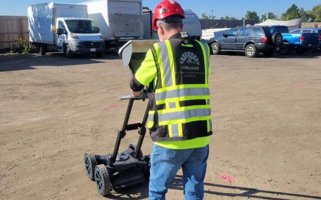
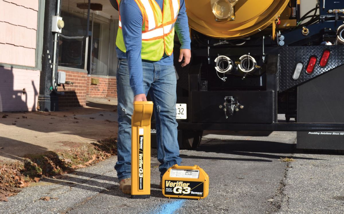
At the heart of underground locating services lies an array of sophisticated technologies. Ground Penetrating Radar (GPR), electromagnetic locating, and sonar imaging are just a few tools used to detect and map subterranean features.
GPR, for instance, uses radar pulses to image the subsurface, allowing operators to identify changes in material and locate utilities. Similarly, electromagnetic locators are effective in detecting metallic pipes and cables, providing a clear path for excavation and construction.
Steps involved in precision underground mapping
The process of precision underground mapping typically follows these critical steps:
- Initial Consultation: Understanding the project requirements and parameters.
- Site Investigation: Conducting preliminary research and assessments on-site.
- Mapping Process: Deploying technology to create accurate representations of subsurface features.
- Report Generation: Delivering detailed maps and reports to stakeholders.
Following these steps ensures accurate and comprehensive data collection that can facilitate effective decision-making throughout the project lifecycle.

Choosing the right underground locating service
Not all underground locating services are created equal. When selecting a provider, several key factors must be taken into account, as the right choice can have significant repercussions on the project’s success.
Key factors to consider when selecting a service
- Experience and Reputation: Look for a service provider with a solid track record and positive reviews.
- Technology Used: Ensure they employ up-to-date and reliable mapping technologies.
- Certifications and Training: Check that their team is qualified and trained to handle the equipment safely and effectively.
By assessing these factors, project managers can make an informed decision that aligns with their specific needs and expectations.
Questions to ask potential service providers
Here are some essential questions you should consider asking when interviewing potential underground locating service providers:
- What technologies do you use for underground locating?
- Can you provide references from previous clients?
- What methods do you employ to ensure data accuracy?
These questions will help you ascertain whether a provider has the necessary expertise to deliver the best results for your project.
Safety considerations in underground locating
The importance of safety cannot be overstated when dealing with underground utilities. Knowing what lies beneath is just as crucial for protecting workers as it is for ensuring project success.
The role of underground locating in preventing accidents
Using underground locating services minimises the risk of accidents significantly. By identifying the locations of utilities, workers can avoid inadvertently damaging lines, which can lead to dangerous situations such as gas leaks or electrical shocks.
Fostering a culture of safety on-site involves proactive measures, and underground locating is an essential component of this strategy. Safety is paramount, and this service helps create a safer working environment for all involved.
Legal requirements for underground locating
In many regions, there are legal obligations that mandate the use of underground locating services before excavation. Understanding these regulations not only helps avoid penalties but also promotes a culture of safety and awareness.
Familiarising yourself with local laws can also improve project planning by integrating necessary steps into your timeline, ensuring compliance from the outset.
See Also : Water Pipe Locator: Identifying Key Infrastructure with Accuracy
Future trends in underground locating and precision mapping
The world of underground locating is ever-evolving, with advancements continually shaping the field. Understanding the future trends can help stakeholders stay ahead of the curve and implement the best practices for their projects.

Innovations shaping the future of underground locating
Innovative technologies, such as artificial intelligence and machine learning, are starting to play a vital role in underground locating. These technologies can analyse vast amounts of data more quickly and accurately, thus enhancing the precision of maps.
Moreover, the integration of Geographic Information Systems (GIS) allows for better visualisation and management of underground utilities, leading to improved decision-making. As these innovations develop, the efficiency and accuracy of underground locating services will continue to increase, reducing risks and costs across various sectors.
The impact of technological advancements on precision mapping
Technological advancements are not only improving the tools used for underground mapping but also refining the methodologies. Improved imaging techniques enable clearer and more detailed maps, which can significantly enhance project planning and execution.
As technology evolves, the potential for more effective and efficient underground locating services appears limitless. Embracing these advancements ensures that construction projects can proceed with confidence, paving the way for a safer and more productive future.


